-
Overview
-
details & translations
-
packet facts
-
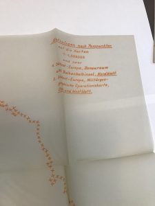
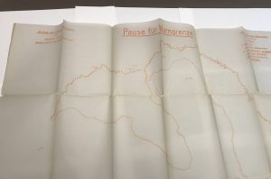
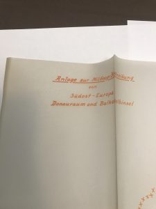
MAP OVERLAYS
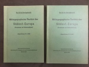
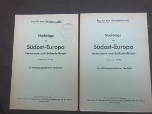
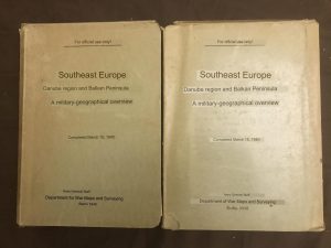
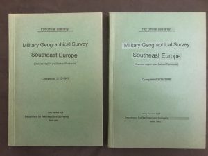
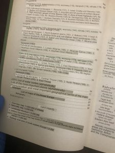
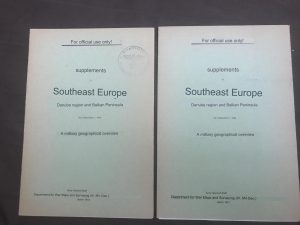
| Date Completed | January 12, 1940 (with a later supplement added with date March 15, 1940) | ||
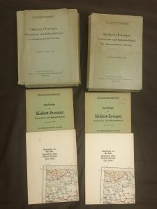
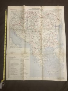
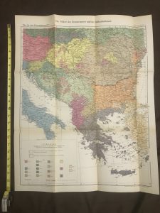
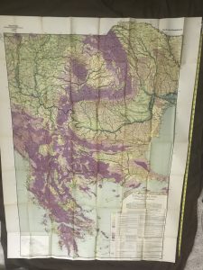
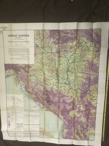
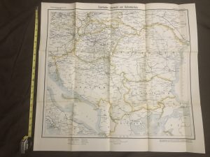
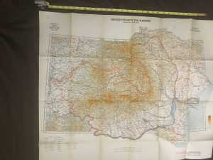
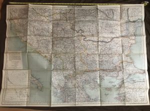
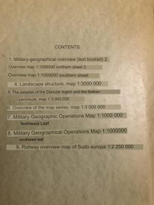
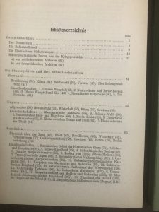
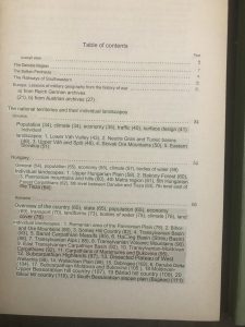
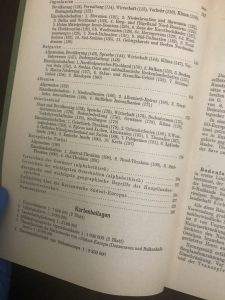
| Packet Completeness | 10 out of 9 items. (1 of the maps listed in TOC is actually divided into 2 separate maps.) Complete packet + 3 additional items not in TOC. (Two are additional maps and the other is a later supplement). | ||
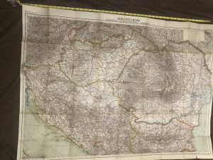
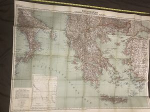
| Item Count | Each packet contains 10 maps and 2 booklets. There are 2 complete copies of this packet. Plus there’s a 3rd copy of one of the packet’s overview maps, as indicated in the Details & Translations tab. And there’s 1 copy of a “Middle Balkans” map that also seems best suited for this packet. Map total: 12 distinct maps, 11 maps that are duplicates of others. |
||
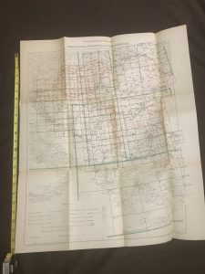
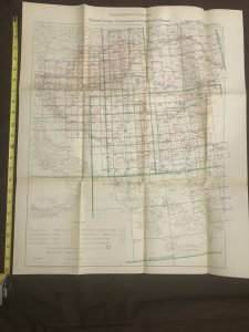
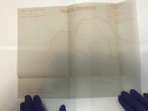
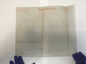
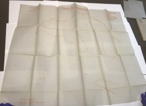
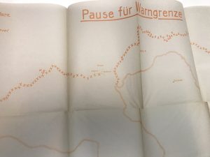
| Highlights | Large maps in very good condition. A 4th tab displays thin films that appear to show location of front line at particular dates. |
Click on each tab (Overview, Details & Translations, Packet Facts, and Map Overlays) for full packet information.
Click on any non-thumbnail gallery image to enlarge images and find more viewing options.
